Section 02 · The Land · §3SRFS–DRAIN–03
3
Filed under · Department of Forestry & Fire · SRFS–DRAIN–03
Drainage Savanna Corridor
Conveyance, spreading & infiltration of runoff — the hydrologic spine
SoilsOa center (Oakalla silty clay loam, 0–1%, rarely flooded) · SeC and SuB edges
PositionInterior flow path connecting high ground to the basin and the river
RoleConveyance, spreading and infiltration of runoff
Priority03 of 07 — important yet challenging; the largest single acreage
StatusCurrently 100% Tifton; the south-east corner is already returning to a small wetland marsh
StandardEphemeral drains carry no required buffer (20 ft advised). Here the entire corridor is managed as a vegetated filter, far beyond the guideline.
Why this section is restored
Before agriculture this section was a seasonal dry creek bed. It remains the route water takes across the property during seasonal rains, but it is now filled entirely with Tifton — reducing groundwater absorption and accelerating runoff to the river. When flow is high it crests the lower SeC band and floods the Floodplain Agricultural Basin, the property’s lowest point. Restoration keeps the Oa clay core open and grass-dominated for flexibility in wet periods, confining woody structure to the higher, more stable SeC and SuB margins. The corridor becomes a mid-property shelterbelt, an interior wildlife corridor and shade for rotationally grazed cattle per NRCS requirements.
Landscape Character
An open drainage grassland framed by savanna edges — readable, functional and alive.
Existing & Intended Condition
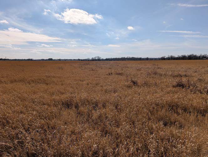 Plate 3·A — Existing
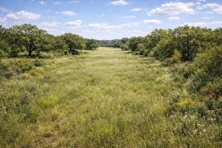 Plate 3·B — Intended
The intended-condition plates are AI-generated images, made from our own site photographs and our written description of the target vegetation. They are a design aid for what this ground could look like decades on, not a record of anything that exists. The existing-condition plate beside each one is a real photograph taken here.