Section 02 · The Land · §4SRFS–FLDPLN–04
4
Filed under · Department of Agriculture & Grazing · SRFS–FLDPLN–04
Floodplain Agricultural Basin
Working production & temporary floodwater storage
SoilsSuB
PositionThe lowest broad interior swath of the property
RoleAgricultural production and temporary floodwater storage
Designation04 of 07 — stays in working agricultural use through Phases 1 and 2
SequenceTifton burndown and native conversion come in Phase 3, after the first plantings prove out
Why this section stays in production
Productive under normal conditions, this field occupies the lowest continuous basin on the property. During rare flood events — when the drainage corridor overtops or the river backs up — it temporarily holds water. That role is not a flaw; it is a pressure-release valve for the entire system. Because inundation is infrequent and the soils recover well, continued agricultural use is appropriate in the near term, with conversion held for Phase 3.
Landscape Character
A working bottomland field that doubles as the property’s flood relief valve.
Existing & Intended Condition
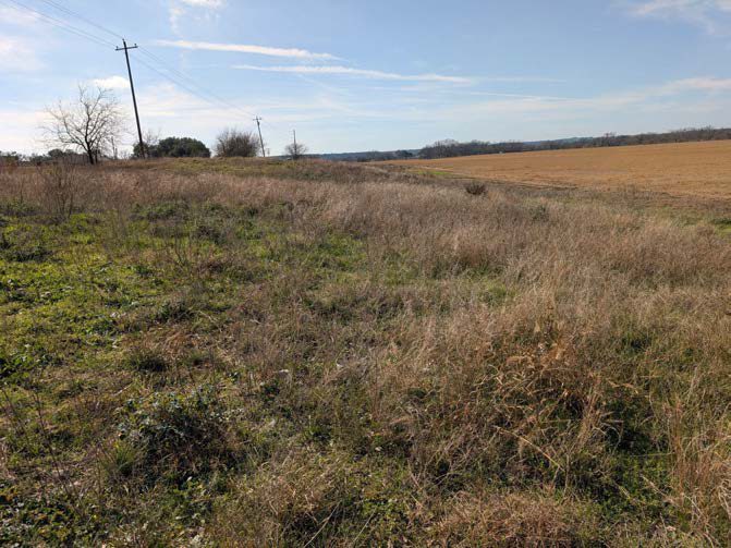 Plate 4·A — Existing
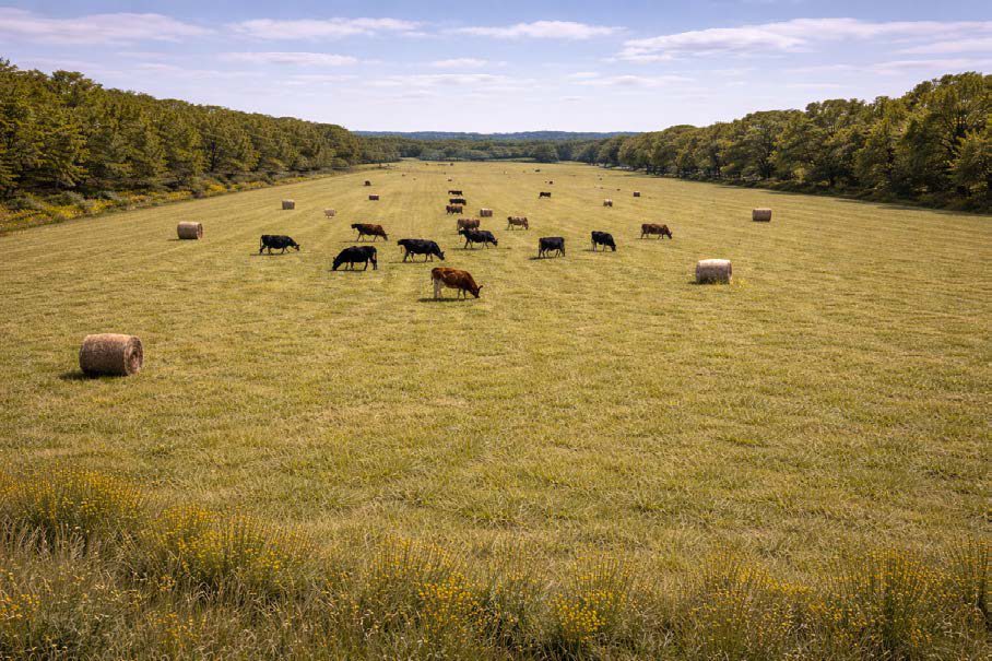 Plate 4·B — Intended
The intended-condition plates are AI-generated images, made from our own site photographs and our written description of the target vegetation. They are a design aid for what this ground could look like decades on, not a record of anything that exists. The existing-condition plate beside each one is a real photograph taken here.