The Land
One hundred and three acres on the Lampasas, 98.78 of them filed in seven working restoration sections, on the Limestone Cut Plain — the Lampasas Cut Plain, locally — at the southern end of the Cross Timbers. What follows is the plan of record — why each section is being restored, in what order, and what we expect it to become.
None of this is a story about neglect. The land was farmed and grazed by people who worked it hard and followed the best advice available at the time. What we inherited is the honest result of those decisions, plus twenty years of a grass doing exactly what it was planted to do.
Read the conditions in full →- 01MonocultureTifton 85 across the working field
- 02Bird declineFewer dove, quail and raptors
- 03ErosionCut banks and a scoured drainage
- 04Canopy lossOak wilt and fallen giants
- 05Browse pressureUnchecked deer and feral hog
The Seven Sections
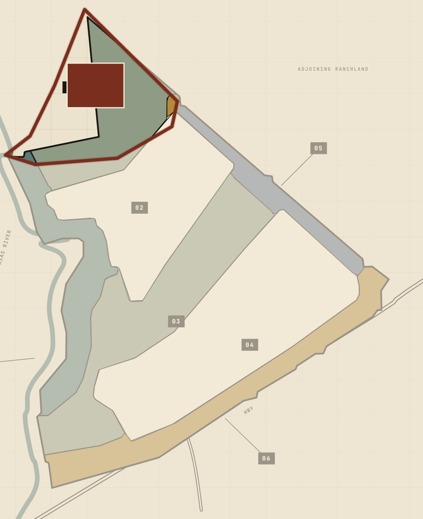 §1SRFS–HDWTR–01
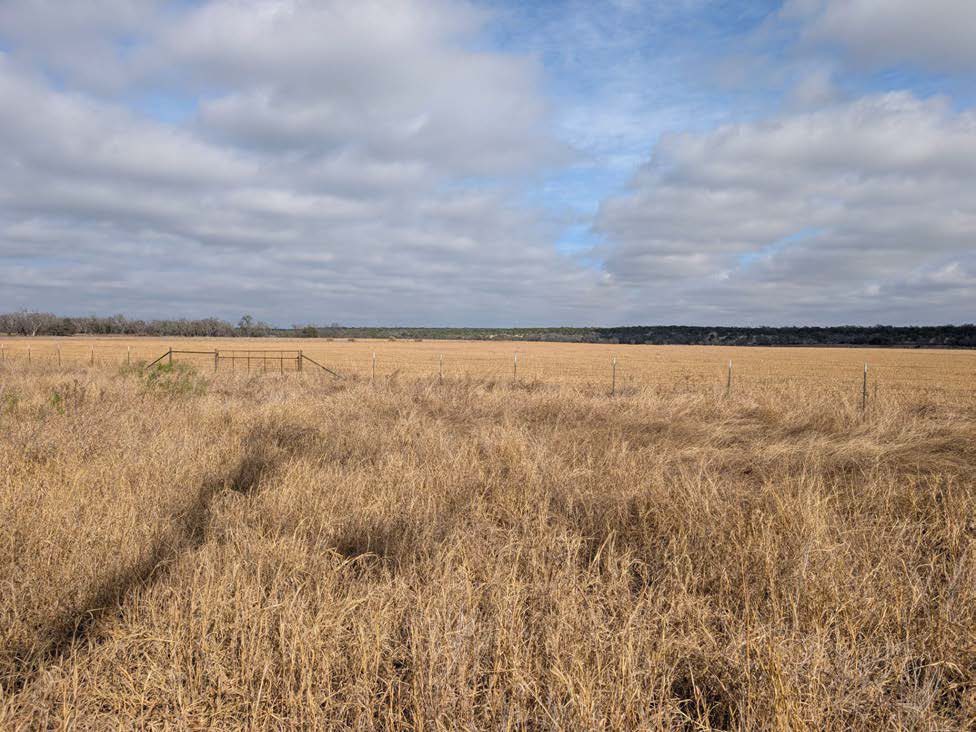 Existing
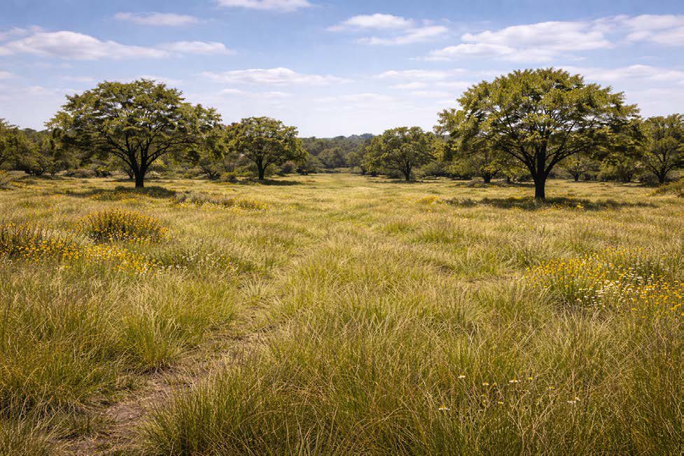 Intended
Western Headwaters Savanna
The spring source wedge; light woody cover over restored short grasses.
The sequence
First burndown & native grass seeding
Knock down the introduced grasses and seed the Texas Parks & Wildlife native mix. Covers the Western Headwaters Savanna, the Eastern Shelterbelt, the River Conservation Strip, the southernmost end of the Drainage Savanna Corridor, a good portion of the Western Agricultural Uplands, and the wetland pocket in the southern corner of the Floodplain Basin.
Trees & woody shrubs
Woody planting along the River Conservation Strip, the Drainage Savanna Corridor and the Eastern Shelterbelt, plus the low wetland ground where the Shelterbelt meets the Floodplain Basin and the Conservation Strip in the south of the property.
Second burndown — inflow band & basin
The remaining Tifton scheduled for conversion comes out of the North Inflow Filter Band and the Floodplain Agricultural Basin. This is the last broadcast burndown planned for the property; the Tifton that comes back after each one is spot-treated by backpack sprayer, a patch at a time, for years.
Map Atlas
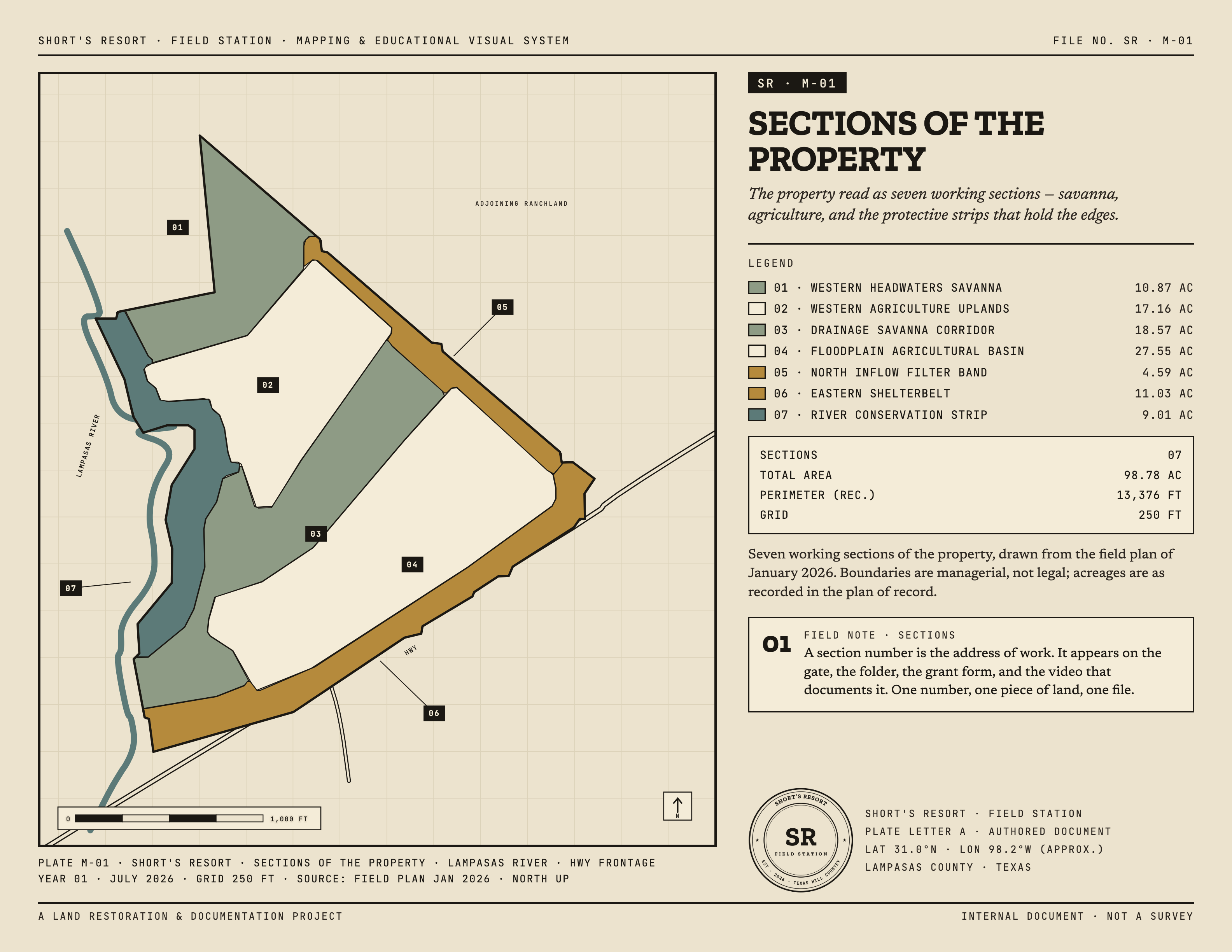 SR · M-01Enlarge ↖
Sections of the Property
The master reference — seven working sections, from the Western Headwaters Savanna down to the River Conservation Strip, each keyed to the care classes below.
The Long Watch
Two ways of watching the same ground. The aerial record is every federal and state survey flight over the tract since 1981 — one pass every few years, sharp enough to see fence lines. The satellite record is this year, a usable frame every week or two. Drag the sliders and the place changes under you: forty years of working ground on the left, one season of restoration on the right.
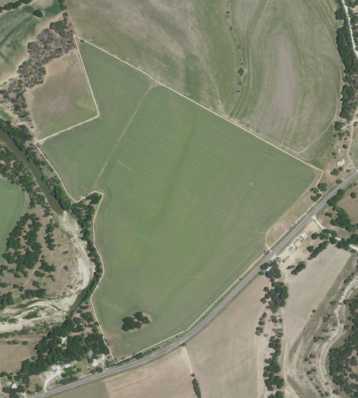
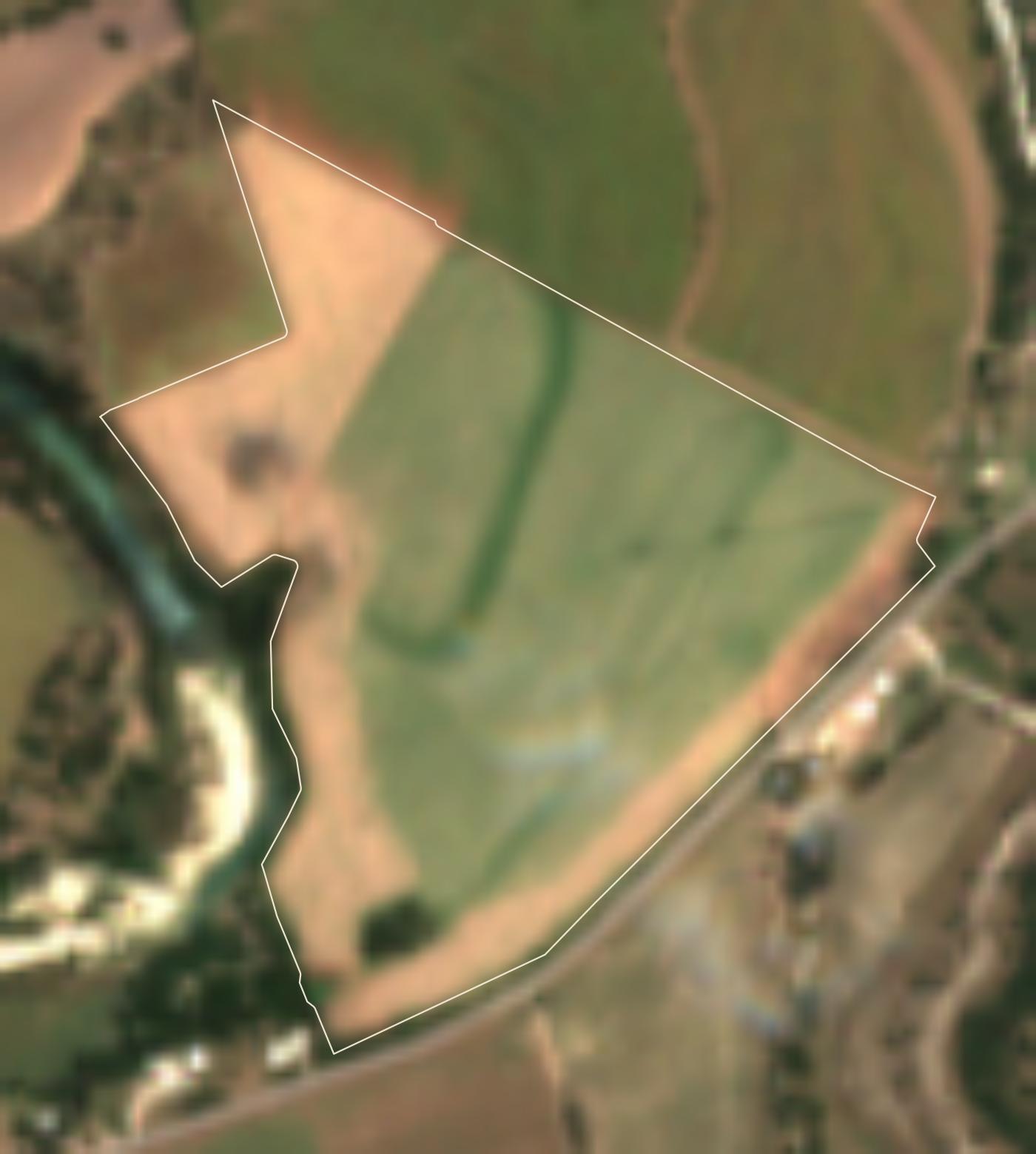
Left: survey flights by USDA (NAIP), Texas (TOP) and USGS (NHAP); the early frames are color-infrared — red is growing vegetation — and 1996 is black and white. Right: Sentinel-2, ten-meter pixels smoothed for the eye — a pulse, not a photograph; the pale ring in the last frames is the first burndown coming through. The bone line is the tract.
Boundaries are managerial, not legal; acreages are as recorded in the plan of record. Care classes run riparian & hydrologic, woody & shelter, and agricultural.
The flood plate is adapted from the Lampasas CAD web map and is informational only — never use it for an insurance determination. The same atlas drives the maps in our manuals and the open GeoJSON under Instruments & Infrastructure.