Section 02 · The Land · §6SRFS–SHELT–06
6
Filed under · Department of Forestry & Fire · SRFS–SHELT–06
Eastern Shelterbelt
Privacy · wind buffering · lateral runoff moderation
SoilsSeC north (Seawillow clay loam, 3–5% slope) · RuB south (Rumley silty clay loam, 1–3% slope)
PositionOne of the highest, most stable elevations on the property, bordering the highway
RolePrivacy, wind buffering, lateral runoff moderation
Priority06 of 07 — the stable perimeter anchor protecting everything west
StatusAbout 300 ft already reflects the long-term goal; the majority of the line is undeveloped
Why this section is restored
This eastern edge sits higher than most interior areas and remains outside the most frequent flood influence. It receives lateral runoff from the adjacent hillside and highway, with direct exposure to wind and road traffic — conditions that suit woody structure able to stand its ground. A dense native shelterbelt here protects the interior landscape, improves privacy and captures litter, dust and sediment before it enters the property.
Landscape Character
A tough, layered native edge — part thicket, part windbreak — built for durability rather than aesthetics.
Existing & Intended Condition
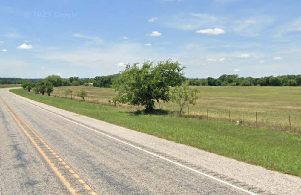 Plate 6·A — Existing
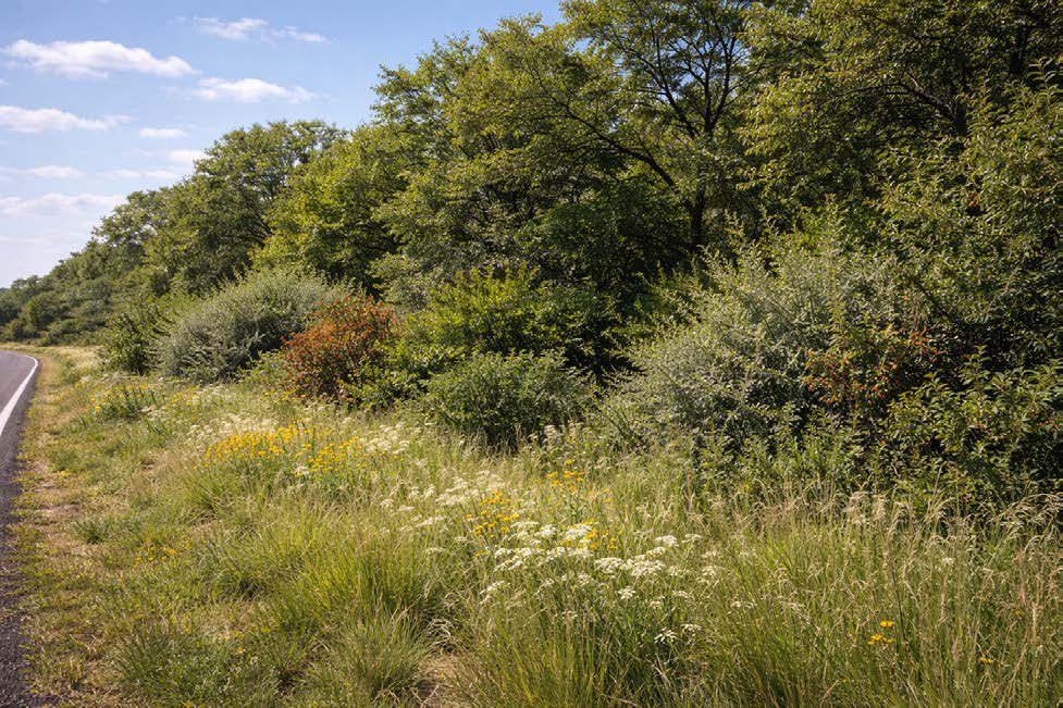 Plate 6·B — Intended
The intended-condition plates are AI-generated images, made from our own site photographs and our written description of the target vegetation. They are a design aid for what this ground could look like decades on, not a record of anything that exists. The existing-condition plate beside each one is a real photograph taken here.