Section 02 · The Land · §7SRFS–RIVCON–07
7
Filed under · Department of Forestry & Fire · SRFS–RIVCON–07
River Conservation Strip
Bank stabilization · water-quality protection · wildlife corridor
SoilsBeB — Boerne loam, rarely flooded; one of the most stable soil units on the property
PositionElevated river terrace along the southern boundary, on the Lampasas River
RoleBank stabilization, water-quality protection, wildlife corridor
Priority07 of 07 — highest; the ecological heart of the property
ActionEradicate 9 acres of Tifton to establish a 175 ft river buffer
StandardTexas BMPs call for a 50 ft streamside management zone on perennial streams. The Strip’s 175 ft minimum exceeds that several times over.
Why this section is restored
Despite sitting within the floodplain, the BeB terrace is relatively high, stable ground along the river. Deep soils and periodic flooding make it ideal for long-lived trees that anchor banks, cool the water and provide continuous wildlife habitat. It is the least Tifton-impacted section, but the crop is creeping into the existing native grass. Recent years of oak wilt and soil erosion have felled or killed many large trees here, so replanting where the section is already native grassland can begin this spring.
Landscape Character
Open woodland grading into riparian forest — shaded, layered and enduring.
Existing & Intended Condition
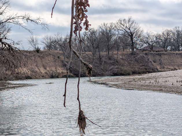 Plate 7·A — Existing
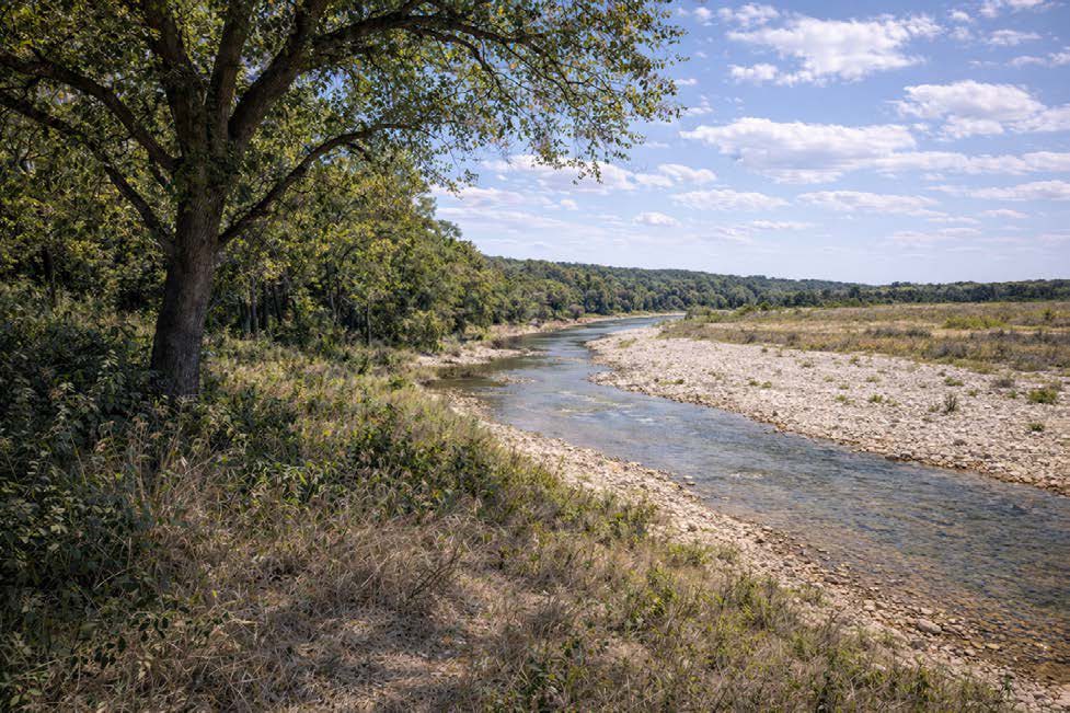 Plate 7·B — Intended
The intended-condition plates are AI-generated images, made from our own site photographs and our written description of the target vegetation. They are a design aid for what this ground could look like decades on, not a record of anything that exists. The existing-condition plate beside each one is a real photograph taken here.