Section 02 · The Land · §5SRFS–INFLOW–05
5
Filed under · Department of Forestry & Fire · SRFS–INFLOW–05
North Inflow Filter Band
Interception, slowing & spreading of incoming water
SoilsSuB, SeC and RuB as present — a cross-soil zone along the entire north property line
PositionUpper inflow edge — the first place water touches the land
RoleInterception, slowing and spreading of incoming water
Priority05 of 07 — intentionally last; it flanks the access road
NoteEncompasses both sides of the east–west access road; restored last to minimize disturbance
Why this section is restored
All runoff from the surrounding hills and fields to the north enters the property along this boundary. Even though the land lies within the mapped floodplain, this edge is the first hydraulic contact point. If water arrives fast and concentrated it cuts channels through everything downslope; if it arrives slow and wide the entire property works better. Dense native vegetation here reduces velocity, captures sediment and converts concentrated flow into sheet flow before it can cause damage.
Landscape Character
A broad, resilient grass-and-shrub filter — open, natural and intentionally rough; a living sponge rather than a wall.
Existing & Intended Condition
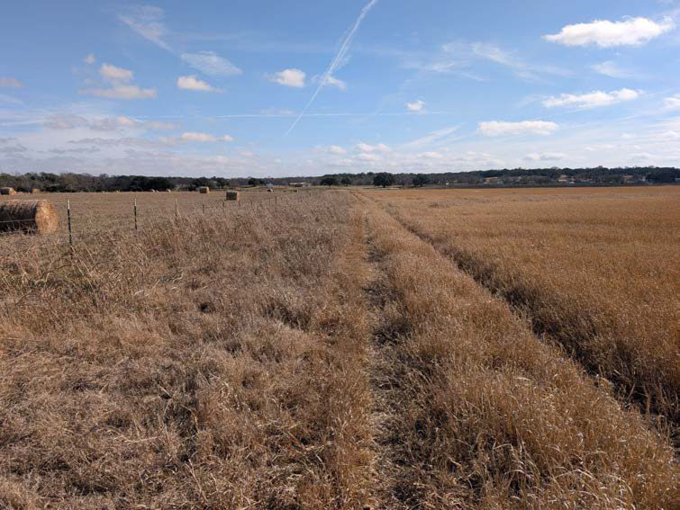 Plate 5·A — Existing
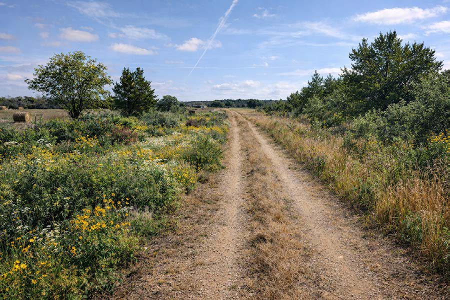 Plate 5·B — Intended
The intended-condition plates are AI-generated images, made from our own site photographs and our written description of the target vegetation. They are a design aid for what this ground could look like decades on, not a record of anything that exists. The existing-condition plate beside each one is a real photograph taken here.