Section 02 · The Land · §1SRFS–HDWTR–01
1
Filed under · Department of Forestry & Fire · SRFS–HDWTR–01
Western Headwaters Savanna
Runoff moderation · infiltration · upland habitat & future grazing
SoilsSeC — Seawillow clay loam, 3–5% slopes
PositionHighest interior upland — sheds water into the drainage corridor
RoleRunoff moderation, infiltration, upland-bird habitat, eventual rotational grazing
Priority01 of 07 — the upper throttle on site hydrology
StatusCurrently 100% Tifton; straightforward — mostly native grasses with a thin oak and pecan planting
Why this section is restored
This is one of the highest points on the property and it sheds water into the drainage corridor. If water leaves this zone fast, erosion follows. Savanna restoration here slows runoff at the source and sets the tone for everything downslope. Planting native grasses increases infiltration and keeps more water on the property and in the ground. The same dry creek bed that runs through the center of the property also snakes through the neighboring land, and this high point forms the border between the two.
Landscape Character
Classic Edwards Plateau oak–shrub savanna — open, sunlit and resilient.
Existing & Intended Condition
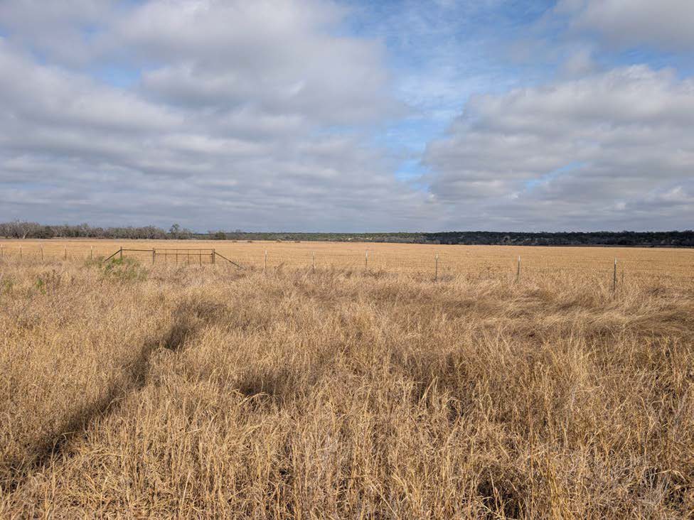 Plate 1·A — Existing
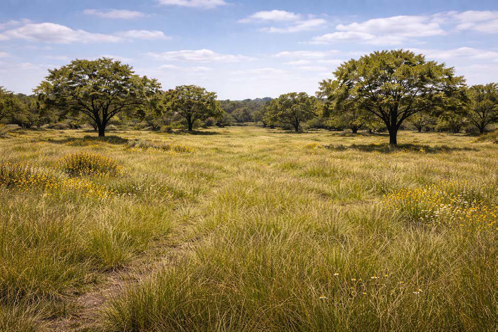 Plate 1·B — Intended
The intended-condition plates are AI-generated images, made from our own site photographs and our written description of the target vegetation. They are a design aid for what this ground could look like decades on, not a record of anything that exists. The existing-condition plate beside each one is a real photograph taken here.